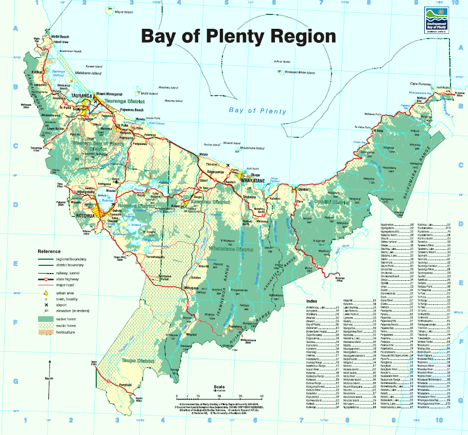
The Bay of Plenty region has eight major rivers emptying into the Bay, which are the Wairoa, Kaituna, Tarawera, Rangitaiki, Whakatane, Waioeka, Motu and the Raukokore river. The Bay of Plenty region map shows the location of these rivers. The Bay of Plenty Regional Council have flood management plans for rivers and streams to protect our communities from flooding as well as local information, national advice and useful contacts, to help you prepare for future flood events and severe weather. You can find that information on the Regional Council Flood Room webpage.
Urban flooding
Flooding issues within the Bay of Plenty's towns and cities are managed by the local District or City Councils. Problems with stormwater flooding, public/municipal drinking water supplies and sewage overflows can be directed to your local Council.
Duty Flood Manager
The Regional Council has a Duty Flood Manager who:
Duty Flood Manager contact number: 07 922 3375
Rising River Levels and Flooding
Bay of Plenty Regional Council has live monitoring pages where you can see up-to-date levels of the region's rivers and rainfall data.
As rivers rise, they reach trigger levels that result in warning to landowners that may be affected by the rising waters. The Kaituna, Tarawera, Rangitaiki, Whakatane, Tauranga, Waioeka and Otara rivers have their own flood warning groups.The flood warning groups will receive a pre-recorded message advising them of the current situation as each trigger level is reached.
To be included in a flood warning group, please contact the Regional Council on 0800 884 880